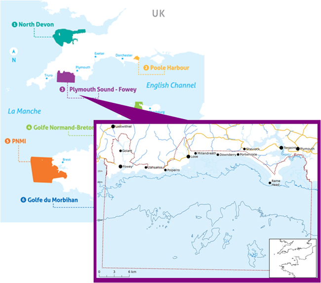
5.3.1 Plymouth Sound to Fowey: Site description


This case study was led by two part time coordinators, one within Cornwall Council and the other from Plymouth University. They worked together to inform the development of the site-specific Ecosystem Services Assessment, to engage site stakeholders through participatory workshops and to promote the use of the Ecosystem Services Approach within local governance.

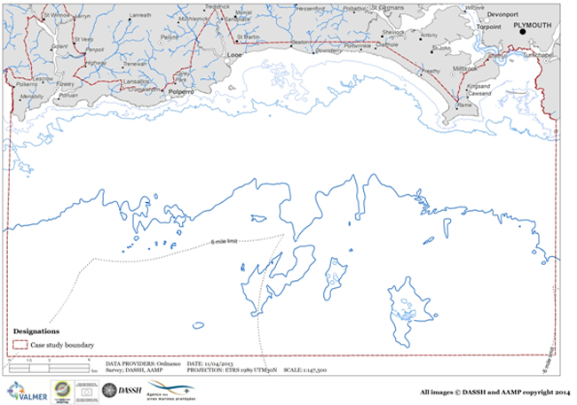
The landward part of the site is made up of a large stretch of open coast flanked by Rame Head and the Gribben Headland. It has mostly rural undeveloped stretches, with several exposed and sheltered beaches. The coast is indented bysmall estuaries, rivers and stream, along with unstable soft cliffs that have seen numerous landslips due to recent episodes of severe flooding.
The Tamar Estuaries complex drains into Plymouth Sound and have a significant influence over the physical characteristics of the marine and coastal area. Offshore habitats include rocky reefs and soft sandy sediments.
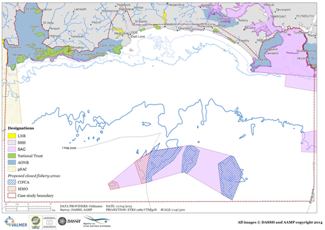
Many parts of the site’s coastal and marine environment are designated for conservation and landscape value.
The site includes important European Marine Sites, for example, Plymouth Sound and Estuaries Special Area of Conservation (SAC) and the Start Point to Plymouth Sound and Eddystone SAC. The coast is part of the Cornwall Area of Outstanding Natural Beauty and supports a number of newly designated Marine Conservation Zones.
The major existing and proposed designations within the site boundary, both statutory and voluntary, can be seen in the following figure. In response to coastal hazards such as cliff failures and flooding, there are number coastal defences, both private and public, in place along the coast, to manage these risks.

Figure: Map showing existing site conservation management within the case study (MBA-DASSH)

